A key feature of coastal sailing, land and sea breeze are a commonly encountered phenomena for most sailors
No matter where you are in the world, coastal sailing is all about knowing how to read your immediate surroundings to have fun and stay safe while cruising and one of the most common localised weather phenomena you’ll come across are land and sea breeze. On a sunny summer day, it’s what can make the difference between a frustrating dead calm and a leisurely cruise.
Sea breezes can be a pretty complex phenomenon. While it’s rewarding to do a deep-dive into a specific area, like the Solent, understanding the fundamentals is helpful no matter where you’re sailing. Here are the basics you’ll want to know:
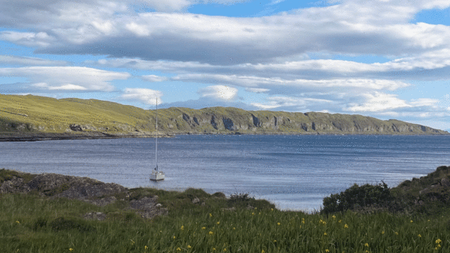
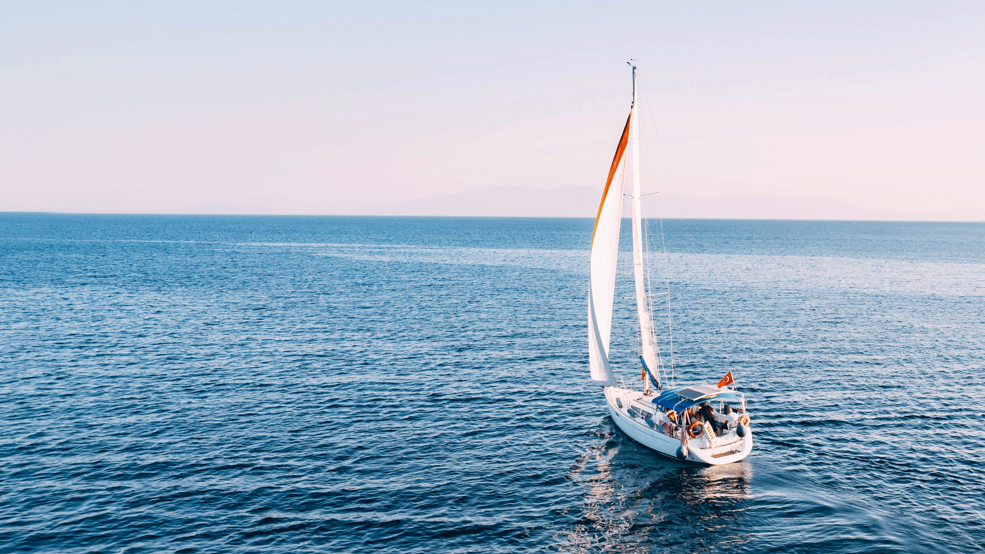
Photo: Viveka Herzum
What is a sea breeze?
Essentially, a sea breeze is the combination of airflows that results from the different rates of temperature change on land and sea. In this case, the air moves from the sea’s surface towards land.
Why do sea breezes happen?
Both land and sea breezes have to do with temperature and pressure differences between land and sea.
On land, the sun quickly heats the top inches of static, shallow soil. The soil reflects the heat back into the atmosphere, quickly warming the air above land. Instead, on the sea, the transparency, large volume, and continuous movement of the water mean that the sea’s surface takes longer to warm.
In other words: land changes its surface temperature quicker. This means that the temperature variation on land between day and nighttime is much greater, and that in the daytime the air over land is warmer than the air over the sea.

Return flow
You might remember from science class that air moves from areas of high pressure to areas of low pressure. As the air above land heats up, it becomes lighter and rises. This leaves behind an area of low pressure closer to the ground. Cooler, denser sea air flows in low over the land, creating the sea breeze.
So: warm land air rises; cool sea air flows in to replace it. This movement creates a sea breeze, leaving behind a ‘calm zone’ further offshore.
What’s the difference between land breeze and sea breeze?

Land breeze rising on an autumn evening in the archipelago of La Maddalena, Sardinia. Photo: Viveka Herzum
A land breeze is the reverse of this process. It’s generally weaker than the sea breeze for two reasons.
One, temperature changes are less dramatic at nighttime. Two, an area’s topography and vegetation can hinder the flow of air from land towards the sea. Its airflow is less ‘clean’, so to speak.
Still, the process is very similar. Land cools as the day moves towards nightfall, bringing its temperature below the sea’s. The warmer air then rises over the water’s surface instead of over land, and the cooler air can flow from land to sea.

Location: where to expect a sea breeze
Because they have to do with the interaction between land and sea, sea breezes are specifically a coastal phenomenon. They tend to happen within only a few kilometres offshore, though they can reach further inland.
Sea breezes, like all winds, also interact with the shape of the landscape and can bend around landmasses. Topographical variations like peaks, cliffs, and valleys can influence their direction and intensity. Lighter breezes may be stopped by higher cliffs, or follow the contours of a valley.

Land breezes might also be amplified by the landscape’s features. Katabatic winds can sometimes occur where a high cliff looks directly over the sea, making for a nasty surprise early in the morning when the land breeze disturbs an otherwise calm anchorage.
A hollow between two hills or peaks could also make for an unexpected wind increase as you pass before it. Thanks to the Venturi effect, the wind might blow more forcefully as it gets funnelled through a constricted area.
Timing: when to expect land breeze and sea breeze
Land breezes occur at night or in the early morning, while sea breezes are a daytime phenomenon. They depend on the sun’s warmth and will taper off in the evening or in case of cloudy skies.
If you’re sailing in high temperature areas and find that a sea breeze is making your life difficult, remember that you’re facing a time-sensitive phenomenon. As the day cools, the breeze will fall. It may be well worth waiting it out before entering an unfamiliar anchorage or the marina.

Photo: Viveka Herzum
Additionally, sea breezes tend to be more pronounced in springtime and summer, when the temperature jumps between land and sea are highest. Though they’re usually mild, areas with overall higher temperatures, like the Med, can have more extreme local variations.
Land breezes occur mostly during the fall and winter, when nights are cooler. If you think of the year as one long day, with the ‘daytime’ in spring/summer and the ‘nighttime’ in autumn/winter, this difference is easy to remember.

How to recognise a sea breeze
A sea breeze appears as a sudden increase of wind, and is sometimes clearly visible as a clean line over calm water. Look for light ruffles on the water’s surface, just like velvet rubbed the wrong way.
The rising thermals of warm air can also lead to the formation of cumulus clouds. If you spot a sharply defined line of them, you’re likely looking at the sea breeze front. Sighting this line might mean that a breeze of decent strength is on its way. Wispier clouds and clearer skies indicate a more feeble sea breeze is arriving.
For reference, the ‘sea breeze front’ is the sharp boundary that develops thanks to the significant temperature difference between the air over land and over water. Keep in the back of your mind that thunderstorms are more likely to develop along them.

Interaction with other winds
Of course, sea breezes don’t exist in a vacuum. They interact with existing background winds and can be shaped by them.
A light off-shore wind might push the sea breeze forward in the day, while a strong off-shore wind could prevent it from pushing inland entirely.
Sea breezes can also sum with other winds, amplifying them. For example, a wind blowing from offshore or parallel to the coast may be intensified by the addition of an afternoon sea breeze.
Understanding how these phenomena relate to each other and how to take advantage of them while you’re on the water can be a great leg up. Not only will it make for more enjoyable sailing, but it can keep you safe, especially when low-impact, localised weather variations don’t show up in the forecast. Whether you’re cruising or racing, with insider knowledge of the weather you’ll be more confident in your passage planning, and better equipped to make necessary adjustments ahead of time. Happy cruising!
Enjoyed reading this?
A subscription to Yachting Monthly magazine costs around 40% less than the cover price, so you can save money compared to buying single issues.
Print and digital editions are available through Magazines Direct – where you can also find the latest deals.
YM is packed with information to help you get the most from your time on the water.
-
-
- Take your seamanship to the next level with tips, advice and skills from our experts
- Impartial in-depth reviews of the latest yachts and equipment
- Cruising guides to help you reach those dream destinations
-
Follow us on Facebook, Twitter and Instagram.
Leave a Reply